In the fast-changing world of reality capture, selecting the right technology can dramatically impact your project’s efficiency and outcomes. Whether you’re an architect, construction manager, or real estate professional, both 360° scanning and laser scanning offer unique benefits for documenting, analyzing, and building virtual models of spaces.
But how do you determine which method is the right fit for your project? Let’s take a deeper look at both technologies and their ideal use cases, so you can make an informed decision for your next project.
360° Scanning: Fast, Accessible, and Cost-Effective
360° Scanning leverages multiple overlapping images or videos to construct a 3D model with a panoramic view of an environment. This method has grown in popularity thanks to its accessibility and relatively low cost, especially compared to more specialized scanning techniques.
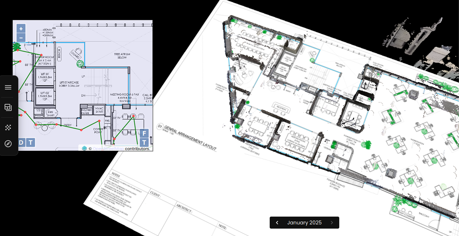
Traditionally this technique only was used for panorama-based navigation, and didn't produce a full 3D output. Preimage's in-house technology has enabled 360° cameras to capture accurate, detailed point clouds that can also be used to generate layouts, CAD models and Revit files, bringing it closer in outputs to Laser scanning. But that doesn't mean that it can do everything that Laser scanning can, or vice versa.
Through this blog, we want to help you make the right technology/equipment choice for your project, depending upon your requirements.

Key Features:
- Utilizes affordable, off-the-shelf cameras such as Insta360 X3, Insta360 One RS or Ricoh Theta.
- Fast capture time, allowing for quicker documentation of spaces.
- Cost-effective, making it ideal for projects with limited budgets.
- Best suited for creating virtual tours, immersive visual experiences, measured drawings or for documentation of progress at a job site.
When to Use 360° Scanning:
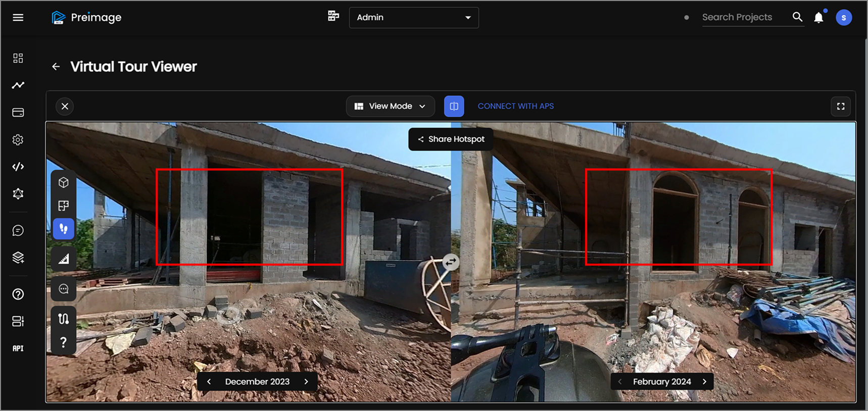
- Construction Progress Documentation: For construction teams, 360° scanning allows rapid and consistent documentation of project milestones and site conditions.
- Layout Verification: For quick verification of layouts by capturing comprehensive site data in a single walkthrough, ensuring accurate comparisons with design plans.
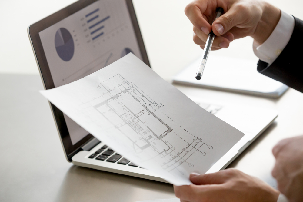
- Measured Drawings: The 1-2 cm precision offered by 360° scanning is good enough for interior design projects that require a measured CAD drawing to begin with. It is also often sufficient for drafting Building Information Models (BIM) in Revit, ArchiCAD and other BIM software.
- Facility & Asset Management: With advanced image AI analytics, 360° scanning can help asset management with detection of objects, detecting probable defects and facilitate image-based intelligence in 3D
- Real Estate Listings: Perfect for creating immersive, interactive virtual tours that help potential buyers or renters explore properties without visiting in person.
Laser Scanning: High Precision and Detailed Accuracy
On the other hand, Laser scanning, also known as LiDAR (Light Detection and Ranging), offers unparalleled precision and accuracy. By using laser beams to measure distances and map out environments, laser scanning produces highly detailed point clouds that can capture even the smallest features of a space. Laser scanning can be of multiple types as well, MLS (mobile laser scanning) & TLS (terrestrial laser scanning) being the most common ones. The rest of the article mostly refers to TLS (terrestrial laser scanning).
Laser scanning is widely used in industries that require millimeter-level precision, such as architecture, engineering, and industrial facility management. The ability to produce exact measurements makes it ideal for technical applications where every detail counts.

Key Features:
- Relies on specialized, often expensive equipment.
- Produces highly accurate 3D models and technical documentation.
- Captures millions of data points for a comprehensive understanding of an environment.
- Best suited for applications where precise measurements are critical, such as structural analysis or complex machine documentation.
When to Use Laser Scanning:
- Architectural Documentation: Create precise, as-built models for restoration, renovation, or historical preservation, ensuring every structural detail is captured.
- Engineering and Construction: Generate accurate Building Information Models (BIM) for refurbishment and asset management projects, helping engineers design with confidence and ensure proper alignment. Can also be used to detect sub-degree undulations, something which is tricky to do with just photogrammetry. However, the conversion of the laser scans to BIM models is a manual, time-consuming process.
- Industrial Facilities: Laser scanning is perfect for capturing complex environments, such as factories or chemical plants, where intricate piping systems and machinery need to be documented.
- Low light conditions: Since Laser scanning does not require light from the surroundings, it can work in environments with little to no lighting, places where 360° scanning typically fails miserably. LiDAR can also usually penetrate foliage canopies and fog unlike cameras.
Hence both laser scanning and 360° scanning have their own advantages and disadvantages, we at Preimage predict 360° cameras getting better and AI image technology advancing to bridge the gap between what's possible with either technologies. We also envision LiDAR scanners getting cheaper and more accessible for cost-effective projects.

A New Era in 3D Scanning with Preimage
At Preimage, we’re bridging the gap between 360° scanning and laser scanning with AI-powered solutions that make reality capture faster, more affordable, and highly accurate. Whether you need immersive virtual tours, precise floor plans, or detailed BIM models, our technology is built to deliver the results you need.
Key Benefits of Preimage’s 360 Solution:
- Quick Capture Time: With off-the-shelf 360° cameras, our team can capture spaces quickly and efficiently, significantly reducing time spent on-site.
- Accurate Scaling: By incorporating known reference measurements into our process, we scale the captured 3D models with a high degree of accuracy—making them suitable for more precise tasks such as floor planning or BIM creation.
- Versatile Output: Whether you need interactive virtual tours, detailed floor plans, or BIM-ready models, our technology can deliver high-quality results tailored to your project’s needs.
Discover how Preimage can revolutionize your next project, contact us at hello (at) preimage (dot) ai to know more or feel free to schedule a demo



.webp)