3D Vectorization

Convert raw 3D scanned data into digital formats such as Digital Elevation Models and Building Information Models to gain actionable insights as well as export these for integration with CAD software.

Put the Power of Preimage in Action

Try it Now

Capture, visualize, and analyze in 3D on the Preimage Platform.

Vectors for AEC

Convert scans of buildings or structures, to Floorplans, Shapefiles, CityGML, CAD, and BIM.

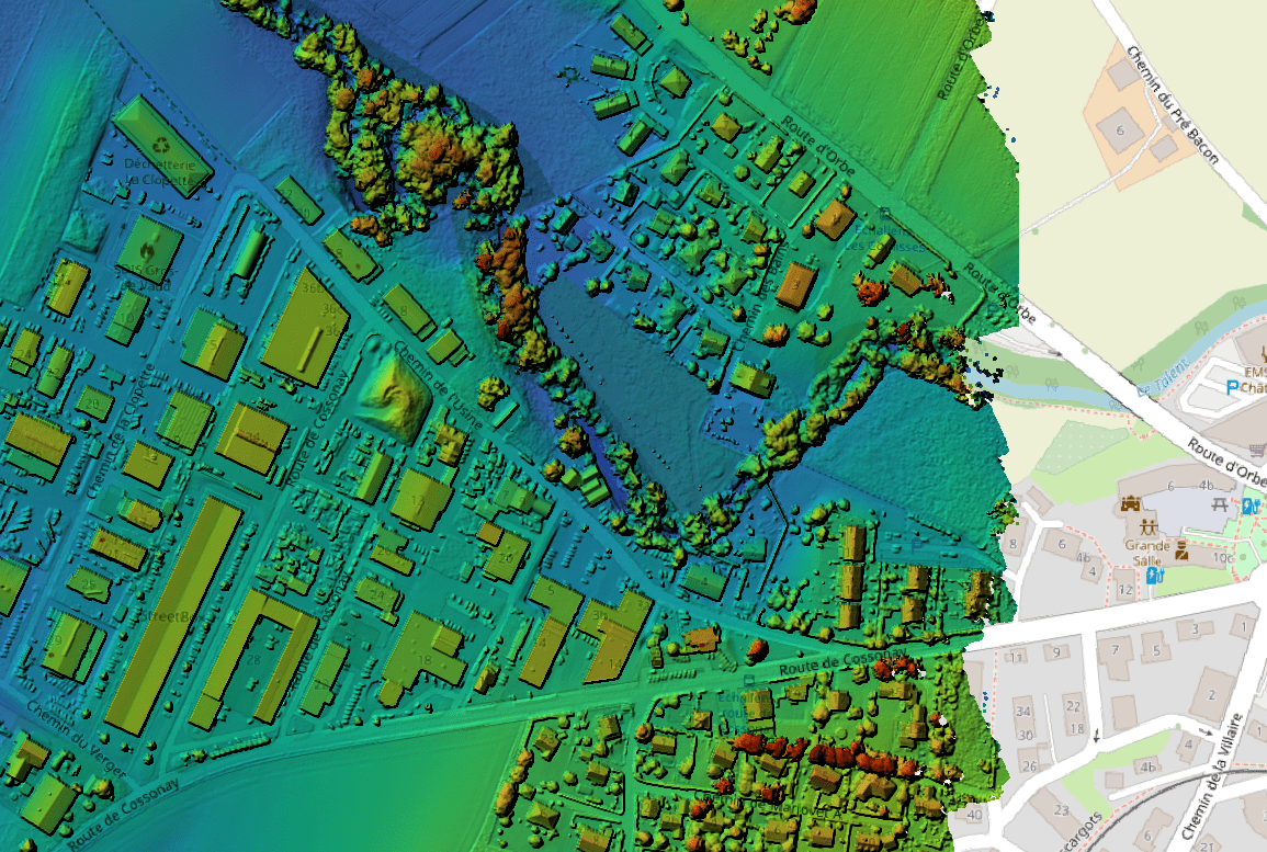
Segmentation into Semantics

Segment geospatial scans into topographic classes like buildings, vegetation, roads, and water bodies.

Export or Integrate

Export the vectorized data for integration with industry-leading software like Revit and AutoCAD.

Trusted By 50+ organizations across the world

Our Solutions

Real Estate 3D Walk Throughs

Revolutionize property listings for enhanced engagement.

Learn More

3D Virtual Stores and Expos

Boost sales and brand presence with 3D virtual visits.

Learn More

Construction Project Management

Optimize construction workflows with precision.

Learn More

Architecture and Refurbishment

Streamline AEC workflows in renovation.

Learn More

Geospatial Large-Scale Mapping

Create 3D city models with Preimage's GIS platform.

Learn More

Urban and Rural Infrastructure

Enhance urban and infrastructure projects with 3D digital twins.

Learn More

Get in Touch

Thank you! Your message has been received!
Oops! Something went wrong while submitting the form.